Current Local Time in Inkhil, Syria (Ankhil)
1
2
3
4
5
6
7
8
9
10
11
12
18:33:12
Saturday, 17 May 2025
| Country: | Syria |
| Governorate: | Daraa |
| Languages: | Arabic |
| Currency: | Syrian Pound (SYP) |
| Lat/Long: | 33.0146°N / 36.1274°E |
| Elevation: | 622 m |
| Country Code: | +963 |
Weather
°C
Change Units for Weather
Now

Sunny
38 °C
Sun, 18
Sunny
36 / 22 °C
Mon, 19
Sunny
30 / 17 °C
Tue, 20
Sunny
29 / 14 °C
Time Zone

Time Zone
EEST (Eastern European Summer Time)
GMT/UTC +3 hours

No DST
No Daylight Saving Time in 2025
Sun & Moon

Sunrise
05:34

Sunset
19:28

Day length
13 hours, 54 minutes
+1m 22s longer

Moon 83%
Rise - 23:57
Set - 08:57
Time Zone ConverterCompare the local time of two time zones, countries or cities of the world |  |
Inkhil
Time Difference to major World Cities
Upcoming Holidays
Friday, June 6, 2025 Eid al-Adha
Friday, June 27, 2025 Muharram
Friday, September 5, 2025 The Prophet's Birthday
Monday, October 6, 2025 October Liberation Day
Thursday, December 25, 2025 Christmas Day
Airports
Rosh Pina Airport, RPN About 52 km from Inkhil
Damascus International Airport, DAM About 57 km from Inkhil
Haifa International Airport, HFA About 104 km from Inkhil
Beirut Rafic Hariri International Airport, BEY About 107 km from Inkhil
Amman Civil (Marka International) Airport, ADJ About 117 km from Inkhil
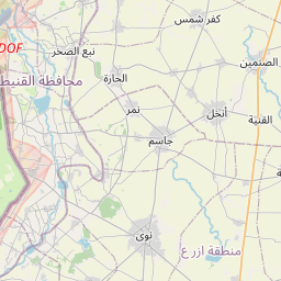
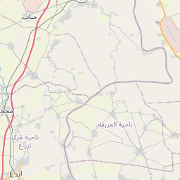
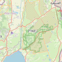
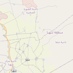
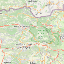
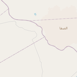
See on the Map

Major cities in the vicinity of Inkhil, Syria
Kiryat Shmona ... (56 Km)
Irbid ... (57 Km)
Damascus ... (57 Km)
Safed ... (59 Km)
Tiberias ... (61 Km)
Nabatieh ... (71 Km)
Karmiel ... (79 Km)
Ma'alot-Tarshiha ... (79 Km)
Nazareth ... (85 Km)
Afula ... (90 Km)
Tyre ... (91 Km)
Sidon ... (93 Km)
Zahlé ... (95 Km)
Nahariya ... (96 Km)
Kiryat Ata ... (97 Km)
Acre ... (98 Km)
Jenin ... (99 Km)
Zarqa ... (106 Km)
Haifa ... (109 Km)
Baalbek ... (110 Km)
Beirut ... (114 Km)
Jounieh ... (116 Km)
Yabroud ... (117 Km)
Amman ... (120 Km)
Nablus ... (120 Km)
An-Nabek ... (124 Km)
Hadera ... (130 Km)
Byblos ... (131 Km)
Netanya ... (142 Km)
Jericho ... (143 Km)
Note: The distance between two locations is provided as an aerial distance for informational purposes only. While approximate, this calculation is based on reliable data and may vary slightly from the actual distance as reported in official forecasts and advisories.