Current Local Time in Konsoy, Tajikistan
07:13:48
Friday, 25 July 2025
| Country: | Tajikistan |
| Region: | Sughd |
| Languages: | Tajik, Russian |
| Currency: | Somoni (TJS) |
| Lat/Long: | 40.4908°N / 69.7019°E |
| Elevation: | 888 m |
| Country Code: | +992 |
Weather
°C
Change Units for Weather
Now

Sunny
27 °C
Sat, 26
Sunny
41 / 25 °C
Sun, 27
Sunny
40 / 25 °C
Mon, 28
Sunny
37 / 23 °C
Time Zone


No DST
No Daylight Saving Time in 2025
Sun & Moon

Sunrise
05:12

Sunset
19:42

Day length
14 hours, 30 minutes -1m 46s shorter

Moon 0%
Rise - 05:22 Set - 20:24
Time Zone ConverterCompare the local time of two time zones, countries or cities of the world |  |
Konsoy
Time Difference to major World Cities
Upcoming Holidays
Tuesday, September 9, 2025 Independence Day
Thursday, November 6, 2025 Constitution Day
Thursday, January 1, 2026 New Year's Day
Sunday, March 8, 2026 International Women's Day
Monday, March 9, 2026 Day off for International Women's Day
Airports
Khujand Airport, LBD About 31 km from Konsoy
Tashkent International Airport, TAS About 92 km from Konsoy
Fergana International Airport, FEG About 174 km from Konsoy
Shymkent Airport, CIT About 209 km from Konsoy
Andizhan Airport, AZN About 220 km from Konsoy
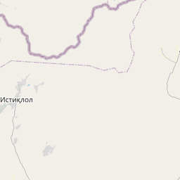
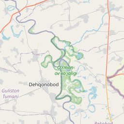
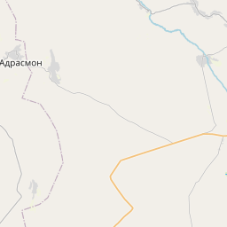
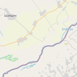
See on the Map
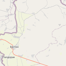


Major cities in the vicinity of Konsoy, Tajikistan
Khujand ... (24 Km)
Istaravshan ... (87 Km)
Tashkent ... (98 Km)
Jizzakh ... (163 Km)
Fergana ... (178 Km)
Shymkent ... (204 Km)
Panjakent ... (210 Km)
Andijan ... (224 Km)
Dushanbe ... (229 Km)
Urgut ... (241 Km)
Samarkand ... (250 Km)
Osh ... (262 Km)
Kulob ... (287 Km)
Taraz ... (302 Km)
Bokhtar ... (306 Km)
Khorog ... (370 Km)
Navoiy ... (370 Km)
Qarshi ... (381 Km)
Termez ... (418 Km)
Kara-Balta ... (430 Km)
Bukhara ... (455 Km)
Mazar-i-Sharif ... (478 Km)
Zarafshon ... (478 Km)
Bishkek ... (486 Km)
Kerki ... (488 Km)
Tokmok ... (532 Km)
Türkmenabat ... (547 Km)
Sheberghan ... (547 Km)
Kashgar ... (548 Km)
Kyzylorda ... (595 Km)
Note: The distance between two locations is provided as an aerial distance for informational purposes only. While approximate, this calculation is based on reliable data and may vary slightly from the actual distance as reported in official forecasts and advisories.


