Current Local Time in Urambo, Tanzania
12:24:33
Thursday, 24 July 2025
| Country: | Tanzania |
| Region: | Tabora |
| Languages: | Swahili, English |
| Currency: | Tanzanian Shilling (TZS) |
| Lat/Long: | 5.0777°S / 32.0695°E |
| Elevation: | 1119 m |
| Country Code: | +255 |
Weather
°C
Change Units for Weather
Now

Sunny
29 °C
Fri, 25
Sunny
32 / 17 °C
Sat, 26
Sunny
33 / 18 °C
Sun, 27
Sunny
33 / 17 °C
Time Zone


No DST
No Daylight Saving Time in 2025
Sun & Moon

Sunrise
07:02

Sunset
18:54

Day length
11 hours, 51 minutes +10s longer

Moon 1%
Rise - 06:36 Set - 18:46
Time Zone ConverterCompare the local time of two time zones, countries or cities of the world |  |
Urambo
Time Difference to major World Cities
Upcoming Holidays
Friday, August 8, 2025 Farmers' Day
Friday, September 5, 2025 Maulid
Tuesday, October 14, 2025 Mwalimu Nyerere Day
Tuesday, December 9, 2025 Independence Day
Thursday, December 25, 2025 Christmas Day
Airports
Mwanza Airport, MWZ About 308 km from Urambo
Kalemie Airport, FMI About 324 km from Urambo
Bujumbura International Airport, BJM About 362 km from Urambo
Kigali International Airport, KGL About 407 km from Urambo
Dodoma Airport, DOD About 425 km from Urambo
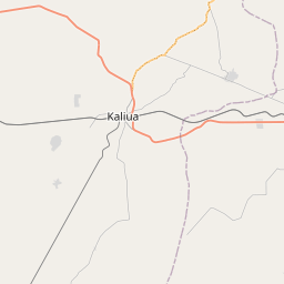
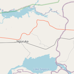
See on the Map


Major cities in the vicinity of Urambo, Tanzania
Tabora ... (82 Km)
Mwanza ... (299 Km)
Gitega ... (300 Km)
Muyinga ... (314 Km)
Kalemie ... (332 Km)
Bujumbura ... (356 Km)
Kigali ... (414 Km)
Dodoma ... (425 Km)
Mbeya ... (453 Km)
Musanze ... (481 Km)
Makambako ... (518 Km)
Mbarara ... (521 Km)
Manono ... (568 Km)
Kisii ... (574 Km)
Kasama ... (580 Km)
Kampala ... (602 Km)
Kisumu ... (630 Km)
Morogoro ... (648 Km)
Butembo ... (654 Km)
Kakamega ... (666 Km)
Fort Portal ... (668 Km)
Nairobi ... (675 Km)
Beni ... (685 Km)
Bungoma ... (686 Km)
Naivasha ... (686 Km)
Nakuru ... (692 Km)
Eldoret ... (716 Km)
Kindu ... (722 Km)
Hoima ... (728 Km)
Songea ... (736 Km)
Note: The distance between two locations is provided as an aerial distance for informational purposes only. While approximate, this calculation is based on reliable data and may vary slightly from the actual distance as reported in official forecasts and advisories.


