Current Local Time in Jemmal, Tunisia
01:21:09
Sunday, 20 July 2025
| Country: | Tunisia |
| Governorate: | Monastir |
| Languages: | Arabic |
| Currency: | Tunisian Dinar (TND) |
| Lat/Long: | 35.6220°N / 10.7600°E |
| Elevation: | 30 m |
| Country Code: | +216 |
| Holiday Note: Jul 25 - Republic Day. The Businesses may be closed. |
Weather
°C
Change Units for Weather
Now

Clear
27 °C
Mon, 21

Sunny
40 / 28 °C
Tue, 22
Sunny
34 / 28 °C
Wed, 23
Sunny
38 / 27 °C
Time Zone


No DST
No Daylight Saving Time in 2025
Sun & Moon

Sunrise
05:16

Sunset
19:29

Day length
14 hours, 13 minutes -1m 18s shorter

Moon 28%
Rise - 00:34 Set - 15:40
Time Zone ConverterCompare the local time of two time zones, countries or cities of the world |  |
Jemmal
Time Difference to major World Cities
Upcoming Holidays
Friday, July 25, 2025 Republic Day
Wednesday, August 13, 2025 Women’s Day
Thursday, September 4, 2025 The Prophet's Birthday
Wednesday, October 15, 2025 Evacuation Day
Wednesday, December 17, 2025 Revolution and Youth Day
Airports
Monastir Habib Bourguiba International Airport, MIR About 15 km from Jemmal
Enfidha - Hammamet International Airport, NBE About 58 km from Jemmal
Sfax Thyna International Airport, SFA About 101 km from Jemmal
Tunis Carthage International Airport, TUN About 145 km from Jemmal
Lampedusa Airport, LMP About 169 km from Jemmal
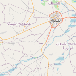
See on the Map
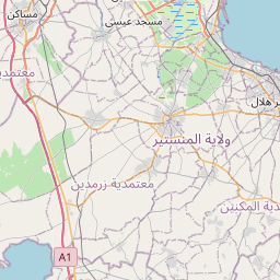
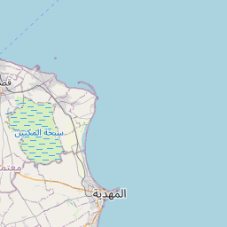


Major cities in the vicinity of Jemmal, Tunisia
Monastir ... (16 Km)
Sousse ... (25 Km)
Sfax ... (98 Km)
Sidi Bouzid ... (133 Km)
Tunis ... (142 Km)
Kasserine ... (182 Km)
Béja ... (188 Km)
El Kef ... (194 Km)
Houmt Souk ... (194 Km)
El Hamma ... (212 Km)
Zarzis ... (238 Km)
Tébessa ... (240 Km)
Marsala ... (284 Km)
Ghomrassen ... (287 Km)
Tozeur ... (306 Km)
Trapani ... (310 Km)
Zuwarah ... (324 Km)
Birkirkara ... (336 Km)
St. Julian's ... (338 Km)
Valletta ... (340 Km)
Palermo ... (361 Km)
Zawiya ... (367 Km)
Janzur ... (375 Km)
Tripoli ... (377 Km)
Cefalù ... (395 Km)
Batna ... (414 Km)
Nalut ... (418 Km)
Cagliari ... (426 Km)
Zintan ... (433 Km)
Syracuse ... (436 Km)
Note: The distance between two locations is provided as an aerial distance for informational purposes only. While approximate, this calculation is based on reliable data and may vary slightly from the actual distance as reported in official forecasts and advisories.


