Current Local Time in Kyenjojo, Uganda
06:27:23
Wednesday, 23 July 2025
| Country: | Uganda |
| District: | Kyenjojo |
| Languages: | English, Swahili |
| Currency: | Ugandan shilling (UGX) |
| Lat/Long: | 0.6093°N / 30.6401°E |
| Elevation: | 1400 m |
| Country Code: | +256 |
Weather
°C
Change Units for Weather
Now

Patchy rain nearby
17 °C
Thu, 24

Patchy rain nearby
30 / 17 °C
Fri, 25
Patchy rain nearby
30 / 19 °C
Sat, 26

Moderate rain
30 / 18 °C
Time Zone


No DST
No Daylight Saving Time in 2025
Sun & Moon

Sunrise
06:59

Sunset
19:08

Day length
12 hours, 08 minutes -1s shorter

Moon 4%
Rise - 05:30 Set - 18:03
Time Zone ConverterCompare the local time of two time zones, countries or cities of the world |  |
Kyenjojo
Time Difference to major World Cities
Upcoming Holidays
Thursday, October 9, 2025 Independence Day
Thursday, December 25, 2025 Christmas Day
Friday, December 26, 2025 Boxing Day
Thursday, January 1, 2026 New Year's Day
Monday, January 26, 2026 Liberation Day
Airports
Bunia Airport, BUX About 116 km from Kyenjojo
Entebbe International Airport, EBB About 210 km from Kyenjojo
Arua Airport, RUA About 273 km from Kyenjojo
Kigali International Airport, KGL About 292 km from Kyenjojo
Gisenyi Airport, GYI About 297 km from Kyenjojo
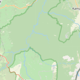
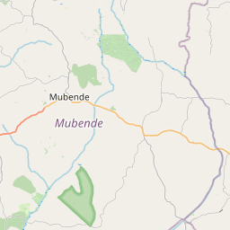
See on the Map
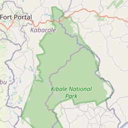
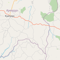
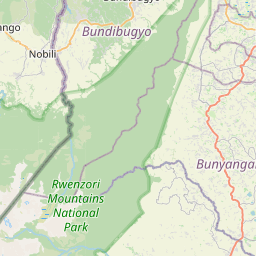
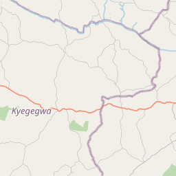

Major cities in the vicinity of Kyenjojo, Uganda
Fort Portal ... (41 Km)
Bunia ... (115 Km)
Hoima ... (120 Km)
Beni ... (133 Km)
Mbarara ... (136 Km)
Butembo ... (159 Km)
Kampala ... (218 Km)
Musanze ... (260 Km)
Arua ... (271 Km)
Kigali ... (291 Km)
Gulu ... (304 Km)
Lira ... (310 Km)
Muyinga ... (386 Km)
Isiro ... (414 Km)
Mwanza ... (429 Km)
Bungoma ... (436 Km)
Gitega ... (456 Km)
Kakamega ... (459 Km)
Bujumbura ... (464 Km)
Kisumu ... (466 Km)
Torit ... (474 Km)
Kisii ... (480 Km)
Juba ... (484 Km)
Kitale ... (487 Km)
Yambio ... (507 Km)
Eldoret ... (515 Km)
Kisangani ... (605 Km)
Nakuru ... (612 Km)
Lodwar ... (618 Km)
Bor ... (632 Km)
Note: The distance between two locations is provided as an aerial distance for informational purposes only. While approximate, this calculation is based on reliable data and may vary slightly from the actual distance as reported in official forecasts and advisories.


