Current Local Time in Charlottesville, Virginia, USA
00:09:34
Wednesday, 23 July 2025
| Country: | United States |
| State: | Virginia (VA) |
| Languages: | English |
| Currency: | United States Dollar (USD) |
| Lat/Long: | 38.0293°N / 78.4767°W |
| Elevation: | 181 m |
| Country Code: | +1 |
| Alternative Names: | C'ville |
Weather
°C
Change Units for Weather
Now

Clear
24 °C
Thu, 24

Sunny
31 / 20 °C
Fri, 25

Fog
34 / 23 °C
Sat, 26

Moderate rain
36 / 22 °C
Time Zone


DST started
9 Mar 2025 Forward 1 hour From 2:00 AM to 3:00 AM

DST ends
2 Nov 2025 Back 1 hour From 2:00 AM to 1:00 AM
Sun & Moon

Sunrise
06:10

Sunset
20:30

Day length
14 hours, 20 minutes -1m 33s shorter

Moon 4%
Rise - 04:26 Set - 20:09
Time Zone ConverterCompare the local time of two time zones, countries or cities of the world |  |
Charlottesville
Time Difference to major World Cities
Upcoming Holidays
Monday, September 1, 2025 Labor Day
Monday, October 13, 2025 Columbus Day
Monday, October 13, 2025 Yorktown Victory Day
Tuesday, November 4, 2025 Election Day
Tuesday, November 11, 2025 Veterans Day
Airports
Charlottesville Albemarle Airport, CHO About 12 km from Charlottesville
Shenandoah Valley Regional Airport, SHD About 45 km from Charlottesville
Lynchburg Regional Airport - Preston Glenn Field, LYH About 101 km from Charlottesville
Richmond International Airport, RIC About 117 km from Charlottesville
Washington Dulles International Airport, IAD About 135 km from Charlottesville
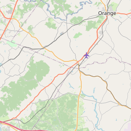
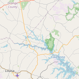
See on the Map


Major cities in the vicinity of Charlottesville, USA
Richmond ... (106 Km)
Roanoke ... (154 Km)
Washington DC ... (159 Km)
Baltimore ... (214 Km)
Durham ... (229 Km)
Norfolk ... (234 Km)
Greensboro ... (247 Km)
Raleigh ... (251 Km)
Virginia Beach ... (256 Km)
Harrisburg ... (285 Km)
Pittsburgh ... (298 Km)
Fayetteville ... (333 Km)
Philadelphia ... (357 Km)
Charlotte ... (376 Km)
Allentown ... (386 Km)
Wilmington ... (427 Km)
Akron ... (428 Km)
Columbus ... (446 Km)
Asheville ... (453 Km)
Cleveland ... (474 Km)
Newark ... (477 Km)
Myrtle Beach ... (484 Km)
New York ... (486 Km)
Greenville ... (497 Km)
Columbia ... (504 Km)
Springfield ... (507 Km)
Yonkers ... (508 Km)
Richmond ... (511 Km)
Pigeon Forge ... (516 Km)
Lexington ... (528 Km)
Note: The distance between two locations is provided as an aerial distance for informational purposes only. While approximate, this calculation is based on reliable data and may vary slightly from the actual distance as reported in official forecasts and advisories.


