Current Local Time in Elmendorf Air Force Base, Alaska, USA
09:53:41
Tuesday, 22 July 2025
| Country: | United States |
| State: | Alaska (AK) |
| Languages: | English |
| Currency: | United States Dollar (USD) |
| Lat/Long: | 61.2536°N / 149.8113°W |
| Elevation: | 65 m |
| Country Code: | +1 |
Weather
°C
Change Units for Weather
Now

Partly cloudy
15 °C
Wed, 23

Patchy rain nearby
17 / 12 °C
Thu, 24

Sunny
16 / 10 °C
Fri, 25

Moderate rain
13 / 11 °C
Time Zone


DST started
9 Mar 2025 Forward 1 hour From 2:00 AM to 3:00 AM

DST ends
2 Nov 2025 Back 1 hour From 2:00 AM to 1:00 AM
Sun & Moon

Sunrise
05:09

Sunset
23:02

Day length
17 hours, 52 minutes -4m 42s shorter

Moon 10%
Rise - 00:31 Set - 23:33
Time Zone ConverterCompare the local time of two time zones, countries or cities of the world |  |
Elmendorf Air Force Base
Time Difference to major World Cities
Upcoming Holidays
Monday, September 1, 2025 Labor Day
Monday, October 13, 2025 Columbus Day
Friday, October 17, 2025 Alaska Day observed
Saturday, October 18, 2025 Alaska Day
Tuesday, November 11, 2025 Veterans Day
Airports
Merrill Field, MRI About 5 km from Elmendorf Air Force Base
Ted Stevens Anchorage International Airport, ANC About 13 km from Elmendorf Air Force Base
Wasilla Airport, WWA About 38 km from Elmendorf Air Force Base
Palmer Municipal Airport, PAQ About 54 km from Elmendorf Air Force Base
Kenai Municipal Airport, ENA About 108 km from Elmendorf Air Force Base
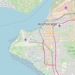
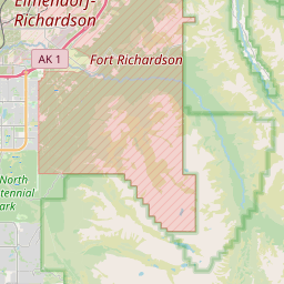
See on the Map


Major cities in the vicinity of Elmendorf Air Force Base, USA
Anchorage ... (6 Km)
Fairbanks ... (412 Km)
Yakutat ... (585 Km)
Dawson City ... (614 Km)
Whitehorse ... (796 Km)
Nome ... (866 Km)
Juneau ... (919 Km)
Sitka ... (945 Km)
Savoonga ... (1091 Km)
Gambell ... (1153 Km)
Anadyr ... (1675 Km)
Fort St. John ... (1744 Km)
Dawson Creek ... (1805 Km)
Yellowknife ... (1840 Km)
Note: The distance between two locations is provided as an aerial distance for informational purposes only. While approximate, this calculation is based on reliable data and may vary slightly from the actual distance as reported in official forecasts and advisories.


