Current Local Time in Roxboro, North Carolina, USA
09:12:27
Sunday, 27 July 2025
| Country: | United States |
| State: | North Carolina (NC) |
| Languages: | English |
| Currency: | United States Dollar (USD) |
| Lat/Long: | 36.3938°N / 78.9828°W |
| Elevation: | 214 m |
| Country Code: | +1 |
Weather
°C
Change Units for Weather
Now

Sunny
28 °C
Mon, 28

Moderate rain
33 / 24 °C
Tue, 29

Cloudy
34 / 26 °C
Wed, 30

Patchy rain nearby
35 / 24 °C
Time Zone


DST started
9 Mar 2025 Forward 1 hour From 2:00 AM to 3:00 AM

DST ends
2 Nov 2025 Back 1 hour From 2:00 AM to 1:00 AM
Sun & Moon

Sunrise
06:19

Sunset
20:25

Day length
14 hours, 06 minutes -1m 35s shorter

Moon 6%
Rise - 09:11 Set - 22:16
Time Zone ConverterCompare the local time of two time zones, countries or cities of the world |  |
Roxboro
Time Difference to major World Cities
Upcoming Holidays
Monday, September 1, 2025 Labor Day
Monday, October 13, 2025 Columbus Day
Tuesday, November 11, 2025 Veterans Day
Thursday, November 27, 2025 Thanksgiving Day
Friday, November 28, 2025 Day after Thanksgiving
Airports
Danville Regional Airport, DAN About 37 km from Roxboro
Raleigh Durham International Airport, RDU About 60 km from Roxboro
Piedmont Triad International Airport, GSO About 92 km from Roxboro
Lynchburg Regional Airport - Preston Glenn Field, LYH About 106 km from Roxboro
Rocky Mount Wilson Regional Airport, RWI About 115 km from Roxboro
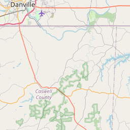
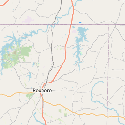
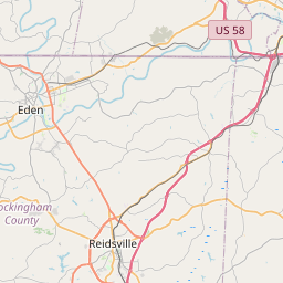
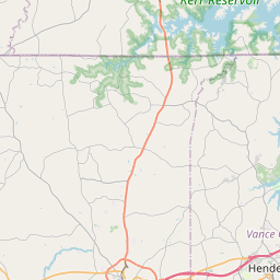
See on the Map

Major cities in the vicinity of Roxboro, USA
Durham ... (45 Km)
Raleigh ... (75 Km)
Greensboro ... (81 Km)
Roanoke ... (130 Km)
Fayetteville ... (149 Km)
Richmond ... (187 Km)
Charlotte ... (212 Km)
Norfolk ... (246 Km)
Wilmington ... (262 Km)
Virginia Beach ... (273 Km)
Myrtle Beach ... (301 Km)
Columbia ... (325 Km)
Washington DC ... (328 Km)
Asheville ... (333 Km)
Greenville ... (353 Km)
Baltimore ... (383 Km)
Charleston ... (411 Km)
Pigeon Forge ... (416 Km)
Augusta ... (426 Km)
Pittsburgh ... (459 Km)
Harrisburg ... (468 Km)
Richmond ... (495 Km)
Savannah ... (517 Km)
Philadelphia ... (518 Km)
Lexington ... (522 Km)
Columbus ... (530 Km)
Frankfort ... (558 Km)
Allentown ... (559 Km)
Akron ... (566 Km)
Cincinnati ... (572 Km)
Note: The distance between two locations is provided as an aerial distance for informational purposes only. While approximate, this calculation is based on reliable data and may vary slightly from the actual distance as reported in official forecasts and advisories.


