Current Local Time in Shady Side, Maryland, USA
09:13:35
Sunday, 20 July 2025
| Country: | United States |
| State: | Maryland (MD) |
| Languages: | English |
| Currency: | United States Dollar (USD) |
| Lat/Long: | 38.8418°N / 76.5122°W |
| Elevation: | 3 m |
| Country Code: | +1 |
Weather
°C
Change Units for Weather
Now

Overcast
25 °C
Mon, 21

Partly Cloudy
29 / 23 °C
Tue, 22

Sunny
28 / 20 °C
Wed, 23

Patchy rain nearby
27 / 20 °C
Time Zone


DST started
9 Mar 2025 Forward 1 hour From 2:00 AM to 3:00 AM

DST ends
2 Nov 2025 Back 1 hour From 2:00 AM to 1:00 AM
Sun & Moon

Sunrise
05:57

Sunset
20:27

Day length
14 hours, 29 minutes -1m 28s shorter

Moon 28%
Rise - 01:23 Set - 16:57
Time Zone ConverterCompare the local time of two time zones, countries or cities of the world |  |
Shady Side
Time Difference to major World Cities
Upcoming Holidays
Monday, September 1, 2025 Labor Day
Monday, October 13, 2025 Columbus Day
Tuesday, November 4, 2025 Election Day
Tuesday, November 11, 2025 Veterans Day
Thursday, November 27, 2025 Thanksgiving Day
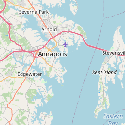
Airports
Tipton Airport, FME About 35 km from Shady Side
Baltimore/Washington International Thurgood Marshall Airport, BWI About 39 km from Shady Side
Ronald Reagan Washington National Airport, DCA About 46 km from Shady Side
Martin State Airport, MTN About 54 km from Shady Side
Naval Air Station Patuxent River, NHK About 62 km from Shady Side
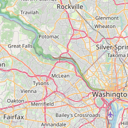
See on the Map
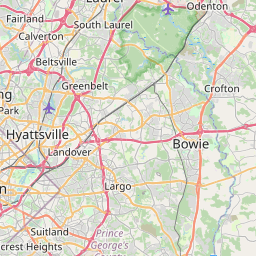

Major cities in the vicinity of Shady Side, USA
Washington DC ... (46 Km)
Baltimore ... (51 Km)
Harrisburg ... (162 Km)
Richmond ... (166 Km)
Philadelphia ... (169 Km)
Allentown ... (215 Km)
Norfolk ... (222 Km)
Virginia Beach ... (226 Km)
Newark ... (290 Km)
New York ... (299 Km)
Yonkers ... (322 Km)
Pittsburgh ... (347 Km)
Roanoke ... (347 Km)
Stamford ... (353 Km)
Durham ... (380 Km)
Raleigh ... (389 Km)
New Haven ... (410 Km)
Greensboro ... (423 Km)
Hartford ... (460 Km)
Syracuse ... (469 Km)
Fayetteville ... (471 Km)
Albany ... (483 Km)
Rochester ... (489 Km)
Springfield ... (491 Km)
Buffalo ... (492 Km)
Akron ... (494 Km)
Saratoga Springs ... (524 Km)
Wilmington ... (529 Km)
Cleveland ... (530 Km)
Providence ... (545 Km)
Note: The distance between two locations is provided as an aerial distance for informational purposes only. While approximate, this calculation is based on reliable data and may vary slightly from the actual distance as reported in official forecasts and advisories.


