Current Local Time in Springfield, Virginia, USA
01:52:39
Thursday, 24 July 2025
| Country: | United States |
| State: | Virginia (VA) |
| Languages: | English |
| Currency: | United States Dollar (USD) |
| Lat/Long: | 38.7856°N / 77.1800°W |
| Elevation: | 75 m |
| Country Code: | +1 |
Weather
°C
Change Units for Weather
Now

Clear
24 °C
Fri, 25

Sunny
39 / 25 °C
Sat, 26

Patchy rain nearby
37 / 25 °C
Sun, 27
Patchy rain nearby
37 / 23 °C
Time Zone


DST started
9 Mar 2025 Forward 1 hour From 2:00 AM to 3:00 AM

DST ends
2 Nov 2025 Back 1 hour From 2:00 AM to 1:00 AM
Sun & Moon

Sunrise
06:03

Sunset
20:26

Day length
14 hours, 22 minutes -1m 37s shorter

Moon 1%
Rise - 05:31 Set - 20:48
Time Zone ConverterCompare the local time of two time zones, countries or cities of the world |  |
Springfield
Time Difference to major World Cities
Upcoming Holidays
Monday, September 1, 2025 Labor Day
Monday, October 13, 2025 Columbus Day
Monday, October 13, 2025 Yorktown Victory Day
Tuesday, November 4, 2025 Election Day
Tuesday, November 11, 2025 Veterans Day
Airports
Ronald Reagan Washington National Airport, DCA About 14 km from Springfield
Washington Dulles International Airport, IAD About 30 km from Springfield
Tipton Airport, FME About 49 km from Springfield
Baltimore/Washington International Thurgood Marshall Airport, BWI About 62 km from Springfield
Naval Air Station Patuxent River, NHK About 87 km from Springfield
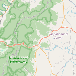
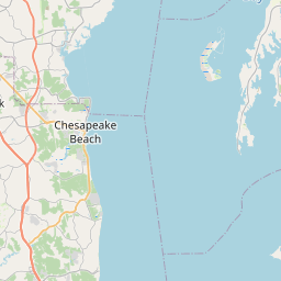
See on the Map
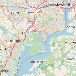

Major cities in the vicinity of Springfield, USA
Washington DC ... (18 Km)
Baltimore ... (75 Km)
Richmond ... (140 Km)
Harrisburg ... (167 Km)
Philadelphia ... (216 Km)
Norfolk ... (229 Km)
Virginia Beach ... (240 Km)
Allentown ... (249 Km)
Roanoke ... (295 Km)
Pittsburgh ... (303 Km)
Newark ... (336 Km)
Durham ... (346 Km)
New York ... (346 Km)
Raleigh ... (358 Km)
Yonkers ... (368 Km)
Greensboro ... (380 Km)
Stamford ... (400 Km)
Fayetteville ... (442 Km)
Akron ... (449 Km)
New Haven ... (458 Km)
Buffalo ... (478 Km)
Syracuse ... (482 Km)
Rochester ... (487 Km)
Cleveland ... (488 Km)
Hartford ... (506 Km)
Charlotte ... (512 Km)
Wilmington ... (512 Km)
Columbus ... (517 Km)
Albany ... (518 Km)
Springfield ... (535 Km)
Note: The distance between two locations is provided as an aerial distance for informational purposes only. While approximate, this calculation is based on reliable data and may vary slightly from the actual distance as reported in official forecasts and advisories.


