Current Local Time in Tân Thành, Vietnam
19:39:10
Sunday, 20 July 2025
| Country: | Vietnam |
| Province: | Bình Dương |
| Languages: | Vietnamese |
| Currency: | Dong (VND) |
| Lat/Long: | 11.1500°N / 106.8439°E |
| Elevation: | 79 m |
| Country Code: | +84 |
Weather
°C
Change Units for Weather
Now

Partly Cloudy
26 °C
Mon, 21

Patchy rain nearby
31 / 24 °C
Tue, 22
Patchy rain nearby
34 / 24 °C
Wed, 23
Patchy rain nearby
31 / 25 °C
Time Zone


No DST
No Daylight Saving Time in 2025
Sun & Moon

Sunrise
05:38

Sunset
18:19

Day length
12 hours, 40 minutes -20s shorter

Moon 28%
Rise - 00:50 Set - 13:57
Time Zone ConverterCompare the local time of two time zones, countries or cities of the world |  |
Tân Thành
Time Difference to major World Cities
Airports
Tan Son Nhat International Airport, SGN About 42 km from Tân Thành
Can Tho International Airport, VCA About 171 km from Tân Thành
Lien Khuong Airport, DLI About 179 km from Tân Thành
Buon Ma Thuot Airport, BMV About 219 km from Tân Thành
Phnom Penh International Airport, PNH About 222 km from Tân Thành
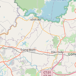
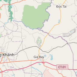
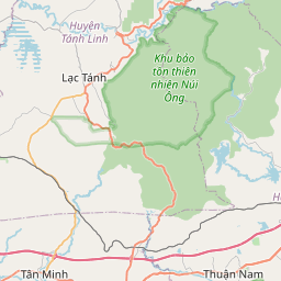
See on the Map


Major cities in the vicinity of Tân Thành, Vietnam
Đồng Xoài ... (43 Km)
Ho Chi Minh City ... (44 Km)
Tây Ninh ... (82 Km)
Vũng Tàu ... (90 Km)
Bảo Lộc ... (114 Km)
Phan Thiết ... (140 Km)
Cần Thơ ... (170 Km)
Long Xuyên ... (178 Km)
Châu Đốc ... (196 Km)
Đà Lạt ... (196 Km)
Sóc Trăng ... (197 Km)
Buôn Ma Thuột ... (213 Km)
Phnom Penh ... (214 Km)
Rạch Giá ... (229 Km)
Phan Rang ... (239 Km)
Bạc Liêu ... (240 Km)
Nha Trang ... (283 Km)
Cà Mau ... (287 Km)
Pleiku ... (339 Km)
Tuy Hòa ... (343 Km)
Sihanoukville ... (368 Km)
Kon Tum ... (378 Km)
Quy Nhon ... (390 Km)
Siem Reap ... (407 Km)
Battambang ... (451 Km)
Pakse ... (455 Km)
Quảng Ngãi ... (490 Km)
Samraong ... (494 Km)
Ubon Ratchathani ... (502 Km)
Salavan ... (510 Km)
Note: The distance between two locations is provided as an aerial distance for informational purposes only. While approximate, this calculation is based on reliable data and may vary slightly from the actual distance as reported in official forecasts and advisories.


