Current Local Time in Vĩnh Yên, Vietnam
13:29:11
Sunday, 27 July 2025
| Country: | Vietnam |
| Province: | Vĩnh Phúc |
| Languages: | Vietnamese |
| Currency: | Dong (VND) |
| Lat/Long: | 21.3100°N / 105.6000°E |
| Elevation: | 8 m |
| Country Code: | +84 |
Weather
°C
Change Units for Weather
Now

Patchy rain nearby
32 °C
Mon, 28
Patchy rain nearby
35 / 25 °C
Tue, 29

Sunny
36 / 26 °C
Wed, 30
Sunny
37 / 27 °C
Time Zone


No DST
No Daylight Saving Time in 2025
Sun & Moon

Sunrise
05:29

Sunset
18:38

Day length
13 hours, 09 minutes -49s shorter

Moon 6%
Rise - 07:38 Set - 20:33
Time Zone ConverterCompare the local time of two time zones, countries or cities of the world |  |
Vĩnh Yên
Time Difference to major World Cities
Airports
Noi Bai International Airport, HAN About 24 km from Vĩnh Yên
Cat Bi International Airport, HPH About 129 km from Vĩnh Yên
Sam Neua Airport, NEU About 188 km from Vĩnh Yên
Van Don International Airport, VDO About 189 km from Vĩnh Yên
Dien Bien Phu Airport, DIN About 269 km from Vĩnh Yên
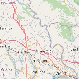
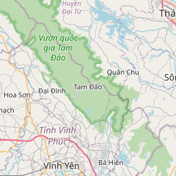
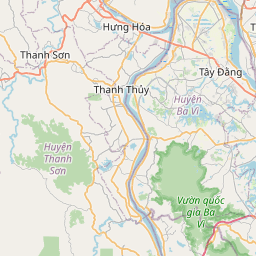
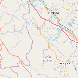
See on the Map


Major cities in the vicinity of Vĩnh Yên, Vietnam
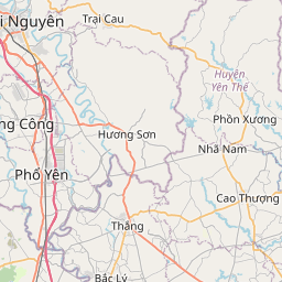
Việt Trì ... (21 Km)
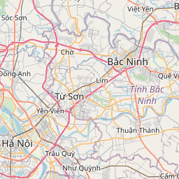
Hanoi ... (40 Km)
Bắc Ninh ... (51 Km)
Tuyên Quang ... (66 Km)
Yên Bái ... (87 Km)
Nam Định ... (115 Km)
Haiphong ... (123 Km)
Ninh Bình ... (124 Km)
Hạ Long ... (159 Km)
Thanh Hóa ... (168 Km)
Sơn La ... (175 Km)
Hà Giang ... (180 Km)
Xam Neua ... (189 Km)
Lào Cai ... (212 Km)
Điện Biên Phủ ... (268 Km)
Vinh ... (293 Km)
Phonsavan ... (323 Km)
Nanning ... (331 Km)
Hà Tĩnh ... (332 Km)
Beihai ... (365 Km)
Pakxan ... (382 Km)
Luang Prabang ... (394 Km)
Đồng Hới ... (440 Km)
Muang Sing ... (461 Km)
Hechi ... (470 Km)
Vientiane ... (484 Km)
Sakon Nakhon ... (485 Km)
Kunming ... (487 Km)
Zhanjiang ... (493 Km)
Yulin ... (495 Km)
Note: The distance between two locations is provided as an aerial distance for informational purposes only. While approximate, this calculation is based on reliable data and may vary slightly from the actual distance as reported in official forecasts and advisories.


