Current Local Time in Mongu, Zambia
03:59:54
Sunday, 20 July 2025
| Country: | Zambia |
| Province: | Western |
| Languages: | English |
| Currency: | Zambian Kwacha (ZMW) |
| Lat/Long: | 15.2736°S / 23.1501°E |
| Elevation: | 1052 m |
| Country Code: | +260 |
Weather
°C
Change Units for Weather
Now

Clear
12 °C
Mon, 21

Sunny
29 / 11 °C
Tue, 22
Sunny
31 / 9 °C
Wed, 23
Sunny
31 / 11 °C
Time Zone


No DST
No Daylight Saving Time in 2025
Sun & Moon

Sunrise
06:53

Sunset
18:13

Day length
11 hours, 19 minutes +28s longer

Moon 28%
Rise - 02:24 Set - 13:54
Time Zone ConverterCompare the local time of two time zones, countries or cities of the world |  |
Mongu
Time Difference to major World Cities
Upcoming Holidays
Monday, August 4, 2025 Farmers' Day
Saturday, October 18, 2025 Prayer Day
Friday, October 24, 2025 Independence Day
Thursday, December 25, 2025 Christmas Day
Thursday, January 1, 2026 New Year's Day
Airports
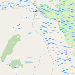
Mongu Airport, MNR About 2 km from Mongu
Kasane Airport, BBK About 356 km from Mongu
Harry Mwanga Nkumbula International Airport, LVI About 402 km from Mongu
Victoria Falls International Airport, VFA About 425 km from Mongu
Rundu Airport, NDU About 472 km from Mongu
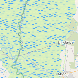
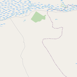
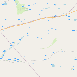
See on the Map

Major cities in the vicinity of Mongu, Zambia
Rundu ... (467 Km)
Solwezi ... (490 Km)
Luena ... (522 Km)
Lusaka ... (551 Km)
Kolwezi ... (565 Km)
Kabwe ... (577 Km)
Menongue ... (590 Km)
Chingola ... (592 Km)
Kitwe ... (611 Km)
Likasi ... (615 Km)
Lubumbashi ... (617 Km)
Ndola ... (644 Km)
Saurimo ... (692 Km)
Grootfontein ... (717 Km)
Kuito ... (743 Km)
Kamina ... (754 Km)
Chinhoyi ... (787 Km)
Bulawayo ... (791 Km)
Francistown ... (801 Km)
Note: The distance between two locations is provided as an aerial distance for informational purposes only. While approximate, this calculation is based on reliable data and may vary slightly from the actual distance as reported in official forecasts and advisories.


