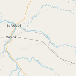
Current Local Time in Bafoulabé, Mali
03:42:34
Tuesday, 22 July 2025
| Country: | Mali |
| Region: | Kayes |
| Languages: | Bambara, Bobo, Bozo, French |
| Currency: | West African CFA Franc (XOF) |
| Lat/Long: | 13.8088°N / 10.8308°W |
| Elevation: | 83 m |
| Country Code: | +223 |
Weather
°C
Change Units for Weather
Now

Patchy rain nearby
26 °C
Wed, 23

Patchy rain nearby
30 / 23 °C
Thu, 24
Patchy rain nearby
30 / 24 °C
Fri, 25
Patchy rain nearby
32 / 24 °C
Time Zone


No DST
No Daylight Saving Time in 2025
Sun & Moon

Sunrise
06:25

Sunset
19:13

Day length
12 hours, 48 minutes -27s shorter

Moon 10%
Rise - 03:48 Set - 17:25
Time Zone ConverterCompare the local time of two time zones, countries or cities of the world |  |
Bafoulabé
Time Difference to major World Cities
Upcoming Holidays
Friday, September 5, 2025 The Prophet's Birthday
Friday, September 12, 2025 Baptism of the Prophet
Monday, September 22, 2025 Independence Day
Thursday, December 25, 2025 Christmas Day
Airports
Kayes Dag Dag Airport, KYS About 97 km from Bafoulabé
Kédougou Airport, KGG About 204 km from Bafoulabé
Bakel Airport, BXE About 211 km from Bafoulabé
Tambacounda Airport, TUD About 305 km from Bafoulabé
Ouro Sogui Airport, MAX About 333 km from Bafoulabé
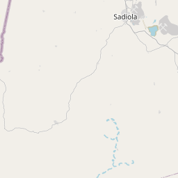
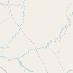
See on the Map

Major cities in the vicinity of Bafoulabé, Mali
Kayes ... (97 Km)
Tambacounda ... (307 Km)
Labé ... (318 Km)
Kiffa ... (319 Km)
Siguiri ... (321 Km)
Bamako ... (333 Km)
Mamou ... (405 Km)
Kankan ... (415 Km)
Kolda ... (456 Km)
Kindia ... (474 Km)
Aleg ... (489 Km)
Boké ... (492 Km)
Néma ... (494 Km)
Ségou ... (497 Km)
Farim ... (497 Km)
Kissidougou ... (520 Km)
Niono ... (526 Km)
Conakry ... (552 Km)
Catió ... (557 Km)
Mbacké ... (558 Km)
Bissau ... (559 Km)
Touba ... (559 Km)
Koidu ... (574 Km)
Koutiala ... (602 Km)
Ziguinchor ... (604 Km)
Voinjama ... (611 Km)
Sikasso ... (622 Km)
Banjul ... (622 Km)
Serekunda ... (634 Km)
Freetown ... (649 Km)
Note: The distance between two locations is provided as an aerial distance for informational purposes only. While approximate, this calculation is based on reliable data and may vary slightly from the actual distance as reported in official forecasts and advisories.


