Current Local Time in Pampierstad, South Africa
19:22:48
Tuesday, 29 July 2025
| Country: | South Africa |
| Province: | Northern Cape |
| Languages: | Zulu, English, Xhosa, Afrikaans |
| Currency: | Rand (ZAR) |
| Lat/Long: | 27.7760°S / 24.6900°E |
| Elevation: | 1073 m |
| Country Code: | +27 |
Weather
°C
Change Units for Weather
Now

Clear
13 °C
Wed, 30

Sunny
22 / 6 °C
Thu, 31
Sunny
24 / 9 °C
Fri, 1
Sunny
17 / 1 °C
Time Zone


No DST
No Daylight Saving Time in 2025
Sun & Moon

Sunrise
07:04

Sunset
17:50

Day length
10 hours, 45 minutes +1m 7s longer

Moon 18%
Rise - 09:52 Set - 22:23
Time Zone ConverterCompare the local time of two time zones, countries or cities of the world |  |
Pampierstad
Time Difference to major World Cities
Upcoming Holidays
Saturday, August 9, 2025 National Women's Day
Wednesday, September 24, 2025 Heritage Day
Tuesday, December 16, 2025 Day of Reconciliation
Thursday, December 25, 2025 Christmas Day
Friday, December 26, 2025 Day of Goodwill
Airports
Vryburg Airport, VRU About 88 km from Pampierstad
Kimberley Airport, KIM About 114 km from Pampierstad
Johan Pienaar Airport, KMH About 131 km from Pampierstad
Lime Acres Finsch Mine Airport, LMR About 139 km from Pampierstad
Sishen Airport, SIS About 167 km from Pampierstad
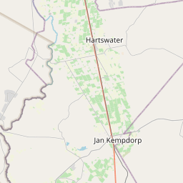
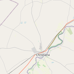
See on the Map


Major cities in the vicinity of Pampierstad, South Africa
Kimberley ... (106 Km)
Bloemfontein ... (211 Km)
Klerksdorp ... (220 Km)
Maseru ... (322 Km)
Rustenburg ... (345 Km)
Gaborone ... (371 Km)
Johannesburg ... (376 Km)
Boksburg ... (394 Km)
Pretoria ... (414 Km)
Thaba-Tseka ... (429 Km)
Newcastle ... (516 Km)
Pietermaritzburg ... (591 Km)
Polokwane ... (642 Km)
Mbabane ... (658 Km)
Durban ... (659 Km)
East London ... (659 Km)
Lobamba ... (661 Km)
Keetmanshoop ... (662 Km)
Mbombela ... (674 Km)
Manzini ... (676 Km)
Port Elizabeth ... (693 Km)
George ... (721 Km)
Richards Bay ... (730 Km)
Francistown ... (789 Km)
Maputo ... (807 Km)
Note: The distance between two locations is provided as an aerial distance for informational purposes only. While approximate, this calculation is based on reliable data and may vary slightly from the actual distance as reported in official forecasts and advisories.


