Current Local Time in Phuthaditjhaba, South Africa (Witsieshoek)
17:33:37
Sunday, 20 July 2025
| Country: | South Africa |
| Province: | Free State |
| Languages: | Zulu, English, Xhosa, Afrikaans |
| Currency: | Rand (ZAR) |
| Lat/Long: | 28.5333°S / 28.8167°E |
| Elevation: | 1646 m |
| Country Code: | +27 |
Weather
°C
Change Units for Weather
Now

Clear
11 °C
Mon, 21

Sunny
16 / 6 °C
Tue, 22

Patchy rain nearby
10 / 4 °C
Wed, 23
Patchy rain nearby
13 / 3 °C
Time Zone


No DST
No Daylight Saving Time in 2025
Sun & Moon

Sunrise
06:54

Sunset
17:27

Day length
10 hours, 33 minutes +56s longer

Moon 28%
Rise - 02:29 Set - 13:00
Time Zone ConverterCompare the local time of two time zones, countries or cities of the world |  |
Phuthaditjhaba
Time Difference to major World Cities
Upcoming Holidays
Saturday, August 9, 2025 National Women's Day
Wednesday, September 24, 2025 Heritage Day
Tuesday, December 16, 2025 Day of Reconciliation
Thursday, December 25, 2025 Christmas Day
Friday, December 26, 2025 Day of Goodwill
Airports
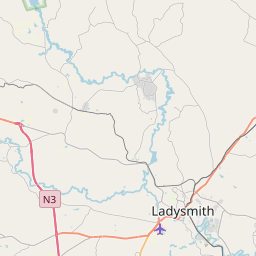
Harrismith Airport, HRS About 44 km from Phuthaditjhaba
Ladysmith Airport, LAY About 91 km from Phuthaditjhaba
Ficksburg Sentraoes Airport, FCB About 94 km from Phuthaditjhaba
Newcastle Airport, NCS About 142 km from Phuthaditjhaba
Moshoeshoe I International Airport, MSU About 161 km from Phuthaditjhaba
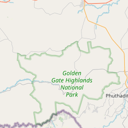
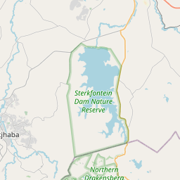
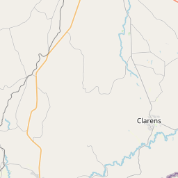
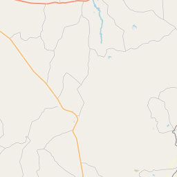
See on the Map

Major cities in the vicinity of Phuthaditjhaba, South Africa
Thaba-Tseka ... (112 Km)
Newcastle ... (140 Km)
Maseru ... (156 Km)
Pietermaritzburg ... (193 Km)
Durban ... (260 Km)
Bloemfontein ... (261 Km)
Boksburg ... (264 Km)
Johannesburg ... (270 Km)
Klerksdorp ... (281 Km)
Pretoria ... (316 Km)
Richards Bay ... (317 Km)
Lobamba ... (333 Km)
Mbabane ... (336 Km)
Manzini ... (338 Km)
Rustenburg ... (355 Km)
Kimberley ... (397 Km)
Mbombela ... (401 Km)
Maputo ... (468 Km)
East London ... (506 Km)
Polokwane ... (519 Km)
Gaborone ... (521 Km)
Xai-Xai ... (619 Km)
Port Elizabeth ... (676 Km)
Francistown ... (830 Km)
Note: The distance between two locations is provided as an aerial distance for informational purposes only. While approximate, this calculation is based on reliable data and may vary slightly from the actual distance as reported in official forecasts and advisories.


