Current Local Time in Vereeniging, South Africa
21:42:59
Sunday, 27 July 2025
| Country: | South Africa |
| Province: | Gauteng |
| Languages: | Zulu, English, Xhosa, Afrikaans |
| Currency: | Rand (ZAR) |
| Lat/Long: | 26.6736°S / 27.9319°E |
| Elevation: | 1479 m |
| Country Code: | +27 |
Weather
°C
Change Units for Weather
Now

Clear
10 °C
Mon, 28

Sunny
17 / 3 °C
Tue, 29
Sunny
17 / 5 °C
Wed, 30
Sunny
19 / 4 °C
Time Zone


No DST
No Daylight Saving Time in 2025
Sun & Moon

Sunrise
06:51

Sunset
17:38

Day length
10 hours, 47 minutes +1m 2s longer

Moon 6%
Rise - 08:40 Set - 20:22
Time Zone ConverterCompare the local time of two time zones, countries or cities of the world |  |
Vereeniging
Time Difference to major World Cities
Upcoming Holidays
Saturday, August 9, 2025 National Women's Day
Wednesday, September 24, 2025 Heritage Day
Tuesday, December 16, 2025 Day of Reconciliation
Thursday, December 25, 2025 Christmas Day
Friday, December 26, 2025 Day of Goodwill
Airports
Rand Airport, QRA About 53 km from Vereeniging
OR Tambo International Airport, JNB About 67 km from Vereeniging
Grand Central Airport, GCJ About 79 km from Vereeniging
Lanseria International Airport, HLA About 82 km from Vereeniging
Potchefstroom Airport, PCF About 84 km from Vereeniging
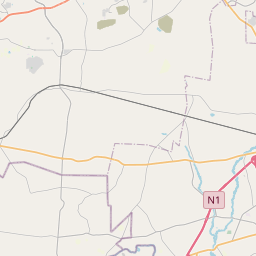
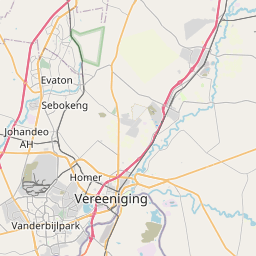
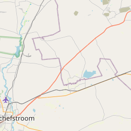
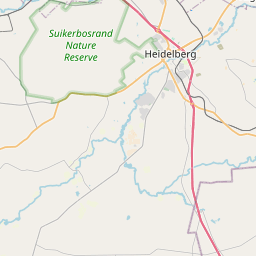
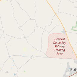
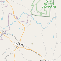
See on the Map

Major cities in the vicinity of Vereeniging, South Africa
Johannesburg ... (53 Km)
Boksburg ... (61 Km)
Pretoria ... (106 Km)
Klerksdorp ... (127 Km)
Rustenburg ... (131 Km)
Newcastle ... (231 Km)
Maseru ... (297 Km)
Gaborone ... (304 Km)
Bloemfontein ... (320 Km)
Mbabane ... (321 Km)
Thaba-Tseka ... (324 Km)
Lobamba ... (325 Km)
Mbombela ... (331 Km)
Manzini ... (342 Km)
Polokwane ... (344 Km)
Kimberley ... (388 Km)
Pietermaritzburg ... (404 Km)
Durban ... (466 Km)
Richards Bay ... (468 Km)
Maputo ... (469 Km)
Xai-Xai ... (604 Km)
Francistown ... (614 Km)
East London ... (706 Km)
Bulawayo ... (729 Km)
Masvingo ... (791 Km)
Inhambane ... (811 Km)
Note: The distance between two locations is provided as an aerial distance for informational purposes only. While approximate, this calculation is based on reliable data and may vary slightly from the actual distance as reported in official forecasts and advisories.


