Current Local Time in Decatur, Alabama, USA
08:36:23
Wednesday, 23 July 2025
| Country: | United States |
| State: | Alabama (AL) |
| Languages: | English |
| Currency: | United States Dollar (USD) |
| Lat/Long: | 34.6059°N / 86.9833°W |
| Elevation: | 181 m |
| Country Code: | +1 |
Weather
°C
Change Units for Weather
Now

Fog
26 °C
Thu, 24

Sunny
36 / 24 °C
Fri, 25

Patchy rain nearby
30 / 24 °C
Sat, 26
Patchy rain nearby
31 / 22 °C
Time Zone


DST started
9 Mar 2025 Forward 1 hour From 2:00 AM to 3:00 AM

DST ends
2 Nov 2025 Back 1 hour From 2:00 AM to 1:00 AM
Sun & Moon

Sunrise
05:52

Sunset
19:56

Day length
14 hours, 04 minutes -1m 21s shorter

Moon 4%
Rise - 04:14 Set - 19:33
Time Zone ConverterCompare the local time of two time zones, countries or cities of the world |  |
Decatur
Time Difference to major World Cities
Upcoming Holidays
Monday, September 1, 2025 Labor Day
Monday, October 13, 2025 American Indian Heritage Day
Monday, October 13, 2025 Columbus Day
Monday, October 13, 2025 Fraternal Day
Tuesday, November 11, 2025 Veterans Day
Airports
Huntsville International Carl T Jones Field, HSV About 19 km from Decatur
Northwest Alabama Regional Airport, MSL About 59 km from Decatur
Birmingham-Shuttlesworth International Airport, BHM About 118 km from Decatur
Anniston Regional Airport, ANB About 153 km from Decatur
Smyrna Airport, MQY About 162 km from Decatur
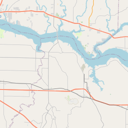
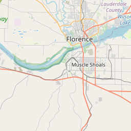
See on the Map


Major cities in the vicinity of Decatur, USA
Huntsville ... (39 Km)
Birmingham ... (122 Km)
Murfreesboro ... (148 Km)
Chattanooga ... (160 Km)
Tuscaloosa ... (164 Km)
Nashville ... (174 Km)
Clarksville ... (217 Km)
Montgomery ... (255 Km)
Atlanta ... (257 Km)
Bowling Green ... (269 Km)
Paducah ... (312 Km)
Pigeon Forge ... (338 Km)
Owensboro ... (352 Km)
Elizabethtown ... (359 Km)
Jonesboro ... (365 Km)
Evansville ... (378 Km)
Jackson ... (392 Km)
Asheville ... (418 Km)
Louisville ... (420 Km)
Greenville ... (420 Km)
Richmond ... (425 Km)
Frankfort ... (442 Km)
Lexington ... (442 Km)
Mobile ... (446 Km)
Vincennes ... (455 Km)
Pensacola ... (466 Km)
Destin ... (471 Km)
Augusta ... (475 Km)
Gulf Shores ... (487 Km)
Biloxi ... (501 Km)
Note: The distance between two locations is provided as an aerial distance for informational purposes only. While approximate, this calculation is based on reliable data and may vary slightly from the actual distance as reported in official forecasts and advisories.


