Current Local Time in Sylacauga, Alabama, USA
22:59:14
Tuesday, 22 July 2025
| Country: | United States |
| State: | Alabama (AL) |
| Languages: | English |
| Currency: | United States Dollar (USD) |
| Lat/Long: | 33.1732°N / 86.2516°W |
| Elevation: | 166 m |
| Country Code: | +1 |
Weather
°C
Change Units for Weather
Now

Clear
27 °C
Wed, 23

Patchy rain nearby
32 / 25 °C
Thu, 24

Moderate rain
34 / 26 °C
Fri, 25
Patchy rain nearby
34 / 24 °C
Time Zone


DST started
9 Mar 2025 Forward 1 hour From 2:00 AM to 3:00 AM

DST ends
2 Nov 2025 Back 1 hour From 2:00 AM to 1:00 AM
Sun & Moon

Sunrise
05:52

Sunset
19:50

Day length
13 hours, 58 minutes -1m 14s shorter

Moon 10%
Rise - 03:10 Set - 18:32
Time Zone ConverterCompare the local time of two time zones, countries or cities of the world |  |
Sylacauga
Time Difference to major World Cities
Upcoming Holidays
Monday, September 1, 2025 Labor Day
Monday, October 13, 2025 American Indian Heritage Day
Monday, October 13, 2025 Columbus Day
Monday, October 13, 2025 Fraternal Day
Tuesday, November 11, 2025 Veterans Day
Airports
Anniston Regional Airport, ANB About 59 km from Sylacauga
Birmingham-Shuttlesworth International Airport, BHM About 64 km from Sylacauga
Montgomery Regional Airport, MGM About 98 km from Sylacauga
Tuscaloosa Regional Airport, TCL About 127 km from Sylacauga
Columbus Metropolitan Airport, CSG About 143 km from Sylacauga
See on the Map
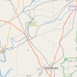

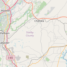

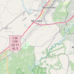

Major cities in the vicinity of Sylacauga, USA
Birmingham ... (65 Km)
Montgomery ... (88 Km)
Tuscaloosa ... (123 Km)
Huntsville ... (176 Km)
Atlanta ... (184 Km)
Chattanooga ... (226 Km)
Murfreesboro ... (297 Km)
Destin ... (310 Km)
Pensacola ... (319 Km)
Mobile ... (323 Km)
Nashville ... (336 Km)
Gulf Shores ... (351 Km)
Tallahassee ... (357 Km)
Jackson ... (380 Km)
Pigeon Forge ... (382 Km)
Clarksville ... (387 Km)
Augusta ... (395 Km)
Biloxi ... (397 Km)
Greenville ... (402 Km)
Bowling Green ... (424 Km)
Asheville ... (433 Km)
Paducah ... (484 Km)
Columbia ... (492 Km)
Savannah ... (498 Km)
Jonesboro ... (504 Km)
Elizabethtown ... (505 Km)
New Orleans ... (509 Km)
Owensboro ... (517 Km)
Jacksonville ... (537 Km)
Richmond ... (539 Km)
Note: The distance between two locations is provided as an aerial distance for informational purposes only. While approximate, this calculation is based on reliable data and may vary slightly from the actual distance as reported in official forecasts and advisories.


